• Video
  • Shop
  • Culture
  • Family
  • Wellness
  • Food
  • Living
  • Style
  • Travel
  • News
  • Book Club
  • Newsletter
  • Privacy Policy
  • Your US State Privacy Rights
  • Children's Online Privacy Policy
  • Interest-Based Ads
  • Terms of Use
  • Do Not Sell My Info
  • Contact Us
  • © 2026 ABC News
  • News

Smoke from West Coast wildfires travels to Europe

1:18
Headlines from ABC News Live
Maxar Tec via Getty Images
ByJulia Jacobo
September 17, 2020, 5:23 PM

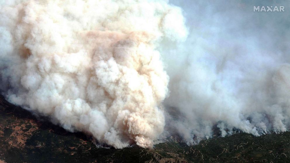
Heavy smoke from the dozens of wildfires blazing up and down the West Coast has traveled as far east as Europe -- nearly 5,000 miles -- satellite images show.

Images released by the European Union's Copernicus Atmosphere Monitoring Service show the smoke moving from the western U.S. and across the Atlantic Ocean to Europe.

Meanwhile, the smoke is still creating hazardous conditions in the West. The haze is so thick that it has cooled expected record-high temperatures for September by 10 degrees, according to climate scientists.

Related Articles

MORE: Families mourn loved ones lost in West Coast wildfires as smoke creates health hazard

The aerosol optical depth, which is the measure of how much sunlight is blocked by aerosol particles in the atmosphere, has reached levels of seven or above, according to CAMS, which is part of the European Centre for Medium-Range Weather Forecasts. To put this in perspective, a level one AOD measurement already implies poor air quality and hazy conditions.

"The fact that these fires are emitting so much pollution into the atmosphere that we can still see thick smoke over 8,000 kilometers away reflects just how devastating they have been in their magnitude and duration," CAMS Senior Scientist Mark Parrington said in a statement.

The smoke plume off the west coast of the states of Oregon, Washington and California is seen in this handout image from from Copernicus-Sentinel-3 satellite, Sept. 10, 2020.
European Space Agency via Getty Images

The fires also have emitted far more carbon in 2020 than in any other year since CAMS began recording data in 2003.

While crews are starting to gain containment on several fires, dozens are still burning, and millions of acres in California and Oregon have been scorched.

Related Articles

MORE: Timelapse captures smoke billowing across Oregon sky

More than two dozen people have died.

Up Next in News—

Gas station clerk speaks out after foiling alleged kidnapping

April 15, 2026

Oklahoma high school principal takes down would-be shooter, hailed as hero

April 15, 2026

Family seeks answers after influencer Ashlee Jenae is found dead on vacation in Tanzania

April 15, 2026

Couple shares warning after nearly losing down payment in mortgage fraud

April 10, 2026

Shop GMA Favorites

ABC will receive a commission for purchases made through these links.

Sponsored Content by Taboola

The latest lifestyle and entertainment news and inspiration for how to live your best life - all from Good Morning America.
  • Contests
  • Terms of Use
  • Privacy Policy
  • Do Not Sell My Info
  • Children’s Online Privacy Policy
  • Advertise with us
  • Your US State Privacy Rights
  • Interest-Based Ads
  • About Nielsen Measurement
  • Press
  • Feedback
  • Shop FAQs
  • ABC News
  • ABC
  • All Videos
  • All Topics
  • Sitemap

© 2026 ABC News
  • Privacy Policy— 
  • Your US State Privacy Rights— 
  • Children's Online Privacy Policy— 
  • Interest-Based Ads— 
  • Terms of Use— 
  • Do Not Sell My Info— 
  • Contact Us— 

© 2026 ABC News