Major Winter Storm to Slam the Midwest Then Move East
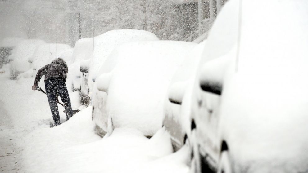
— -- With a major winter storm set to hit parts of the Midwest and Northeast, delivering a significant amount of snow that could affect travel across the country to start the week, airlines are already starting to cancel flights.
As of 11 p.m. ET Saturday, airlines had canceled 1,048 flights scheduled for Sunday. Of those, 445 were flights out of Chicago's O'Hare International Airport.
The developing winter storm was moving through the southern and central Plains today, bringing a mixture of snow, sleet, freezing rain, and rain to the region.
Winter storm warnings, watches, and advisories were currently in effect around midday Saturday from the central Plains to New England in anticipation of the winter storm on the way.
The upcoming storm was expected to strengthen Saturday evening with a large area of heavy snow developing across the central Plains, and eventually through the Midwest Saturday night and early Sunday morning.
The heaviest snow is expected to fall generally along and north of Interstate 80, with a wintry mix and rain expected for areas south of there.
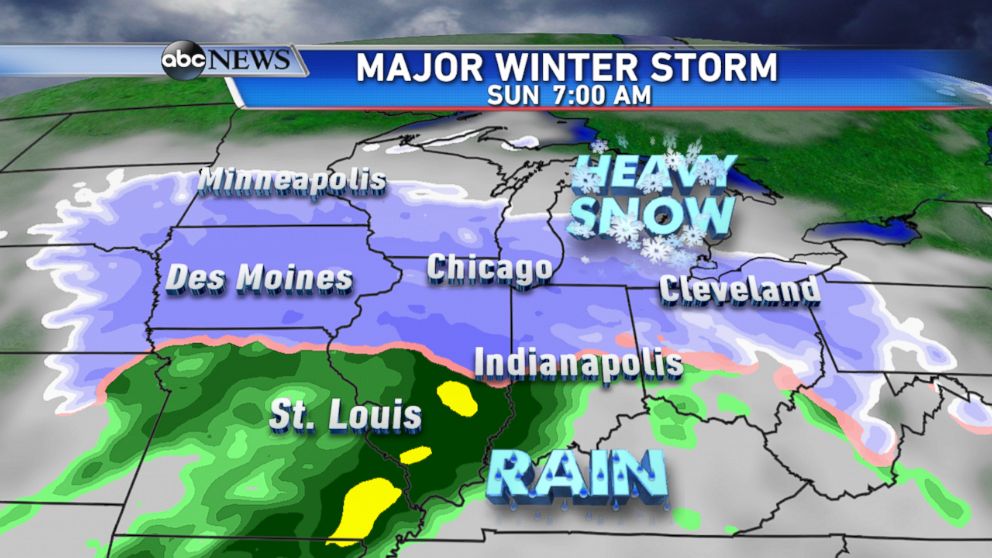
On Sunday morning, heavy snow is forecast to be falling from Des Moines, Iowa, to Chicago and as far east as Detroit and Cleveland.
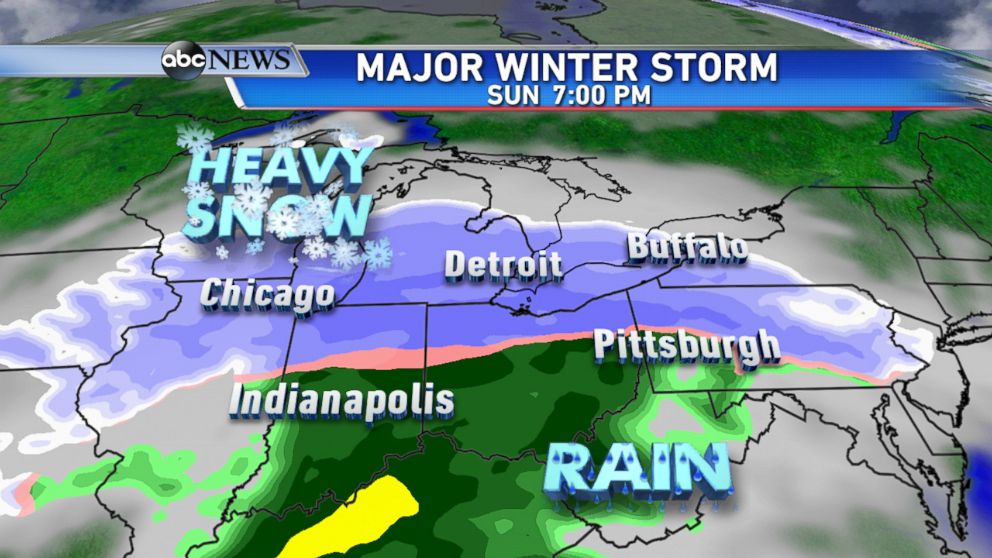
By Sunday evening, the snow will continue to fall from Chicago to Cleveland and begin to move into the Northeast. A wintry mix and areas of heavy rain are expected further south from Indianapolis to the northern Tennessee Valley.
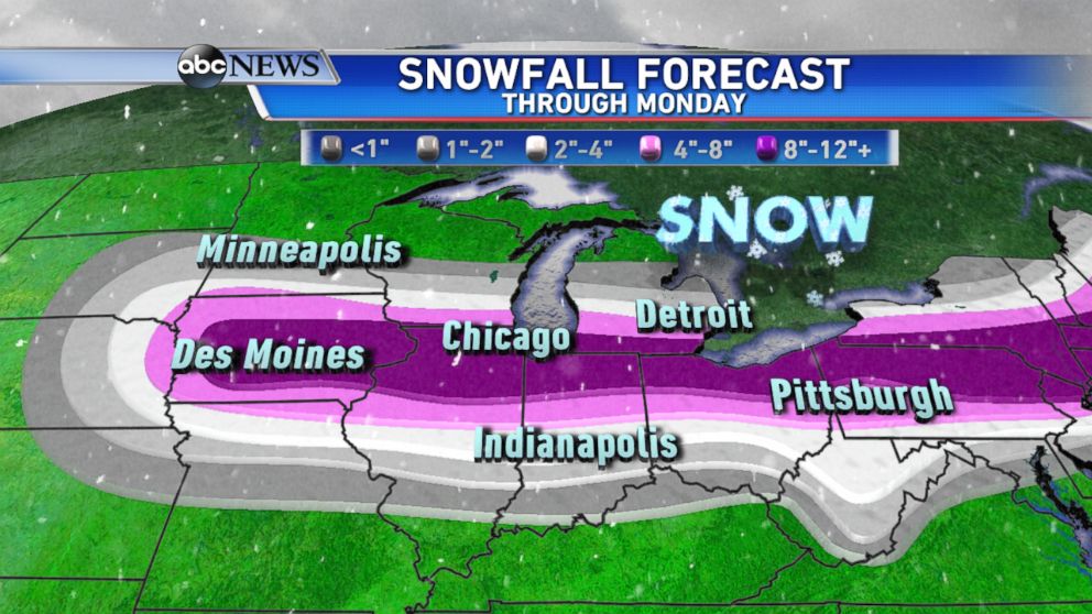
Current snowfall forecasts from the ABC Weather Team call for accumulations of 8-12 inches from central Iowa through the northern Ohio Valley by Monday morning. Isolated amounts over a foot are possible, focusing on areas east of Chicago through northern Ohio.
This storm will continue to track east Sunday night and into Monday morning impacting a large stretch of the I-95 corridor from Washington, D.C to coastal Maine.
From Washington, D.C. to Philadelphia, mixing with rain and sleet will lead to lower snow totals. However from New York City up to Boston, significant amounts of snow with an icy and dangerous Monday morning commute expected.